| The real story behind this second book has to do a simple logistical problem. When I went through my photo archives choosing pictures that I wanted to put in a book, I ended up with about 250 images. But there is a limit of 160 pages on books that use premium quality photographic paper - apparently it is a limitation to do with the binding of the heavier paper into book format (the limit is higher for other books) so the simple answer was to make two books - and this is the second of those two. (If you want to go to the page that describes the first of these books, click here - for description of first book ) |
|
Just like the first book, this one consists almost entirely of aerial photographs, there isn't much writing beyond the captions to the photographs - and not even all of the photographs have captions.
It is the same size (coffee-table size, 13 by 11 inches, 33 by 28 cm) and printed on Blurb.com's premium archive-quality photo paper rather than their default paper.
The pictures selected for the first of these books were chosen for their broader interest to a general public - these are the more spectacular ones that can be appreciated by the widest audience. The second book is perhaps narrower in interest, and would be appreciated by fellow pilots who have flown and are familiar with the terrain described - Northern California, the Peninsula, and Silicon Valley. Stated another way, if you are thinking of purchasing a book and unsure of which one to choose, you probably should go for first book rather than this one. But if you already have a copy of the first one and are looking for more of this kind of pictures, then here it is!
This book has 120 pages of photos (one per page), and the table of contents looks like this
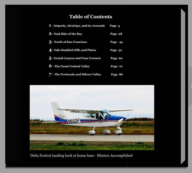
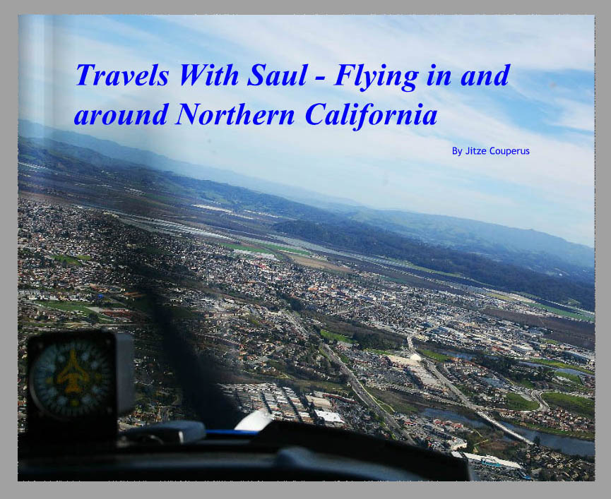
It is a book of aerial photographs and as you can see, the photographs are mostly taken within a short flight from the San Francisco Bay Area. But instead of spectacular tourist views of San Francisco and Yosemite (as in the first book) the pictures here are more as seen through the eyes of a pilot - approaches to various "interesting" airports, winery country and the central valley. There is one chapter that visits the Grand Canyon and the Four Corners region (where Utah, New Mexico, Colorado and Arizona meet) but these few pictures are the exception to the rule -
You can "Preview" and leaf through the book interactively over the internet by clicking here.
This will take you to the website of the outfit where the book can be ordered. To preview the book, just click on the blue "Preview" tab on the cover of the book as it is shown there. There is also a button just below and right of the book to be able to view it in a larger size. There are options on that page if you want to order a copy (what type of cover you want, hard cover with image printed directly on the hard cover, or hard cover with a separate dust jacket). The cost is listed as either $87 or $90 depending on this option, but then they add tax and shipping so expect to pay closer to $115 depending on shipping costs. (I don't make any money out of it, so don't order a copy because you feel you ought to!) It's just that a lot of people have been bugging me for a long time to do something like this, and now I've gone and been and done it... Oh - and if you want to go back and read about the first book - click here. |
