|
Where did these images come from, and can I go looking there as well?
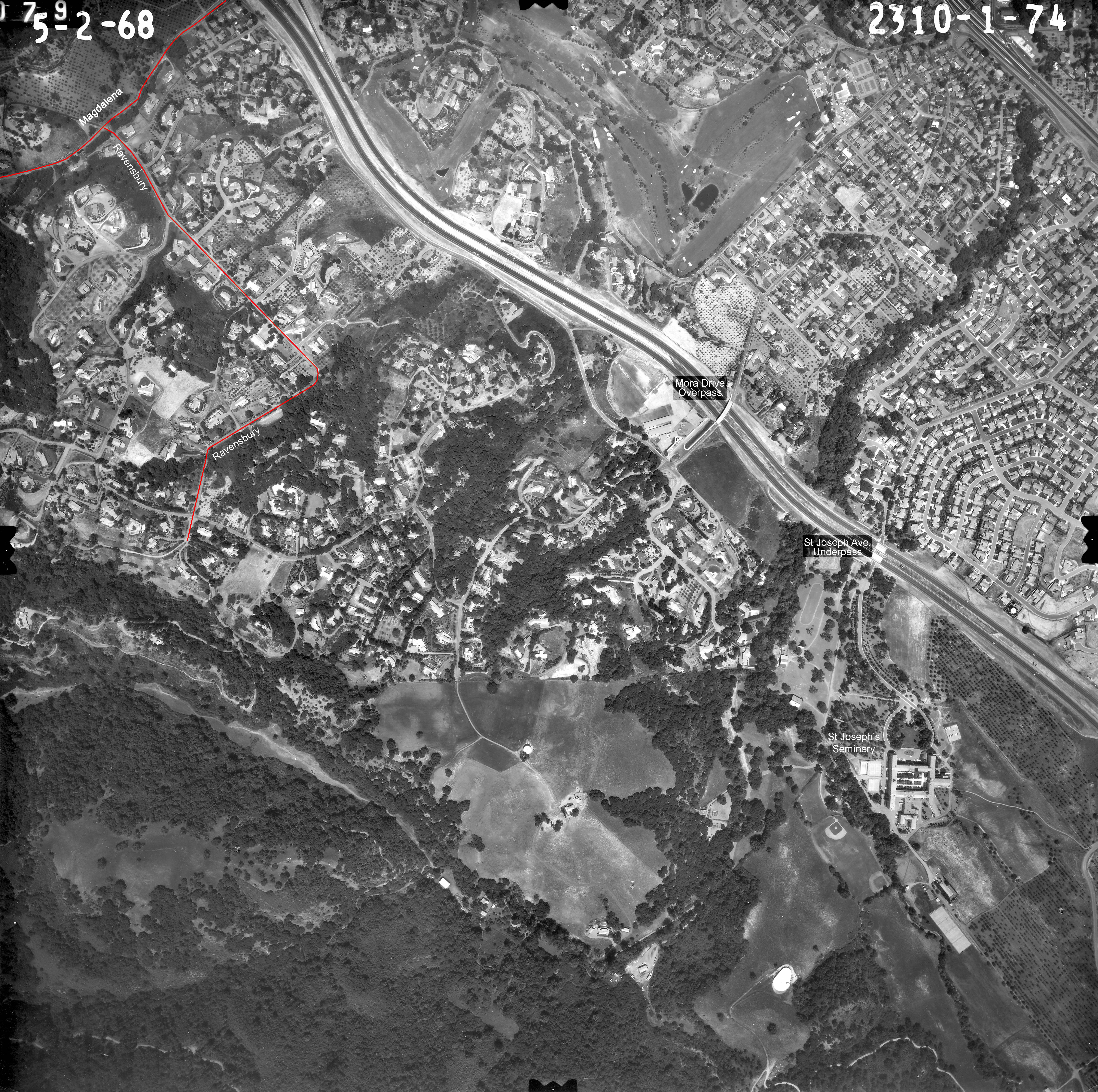
These images were retrieved from a publically accessible database (link provided below) but before you try this - a word of caution!
There is a centrally maintained collection of aerial images containing some thousands of frames. But before you start exploring, be aware that the "file format"
of the retrieved images is of the file type ".tif" - as opposed to ".jpg" or ".pdf" for instance. So unless the computer that you are using has the necessary capablity to display and/or manipulate
such images, there is no point in pursuing this avenue.
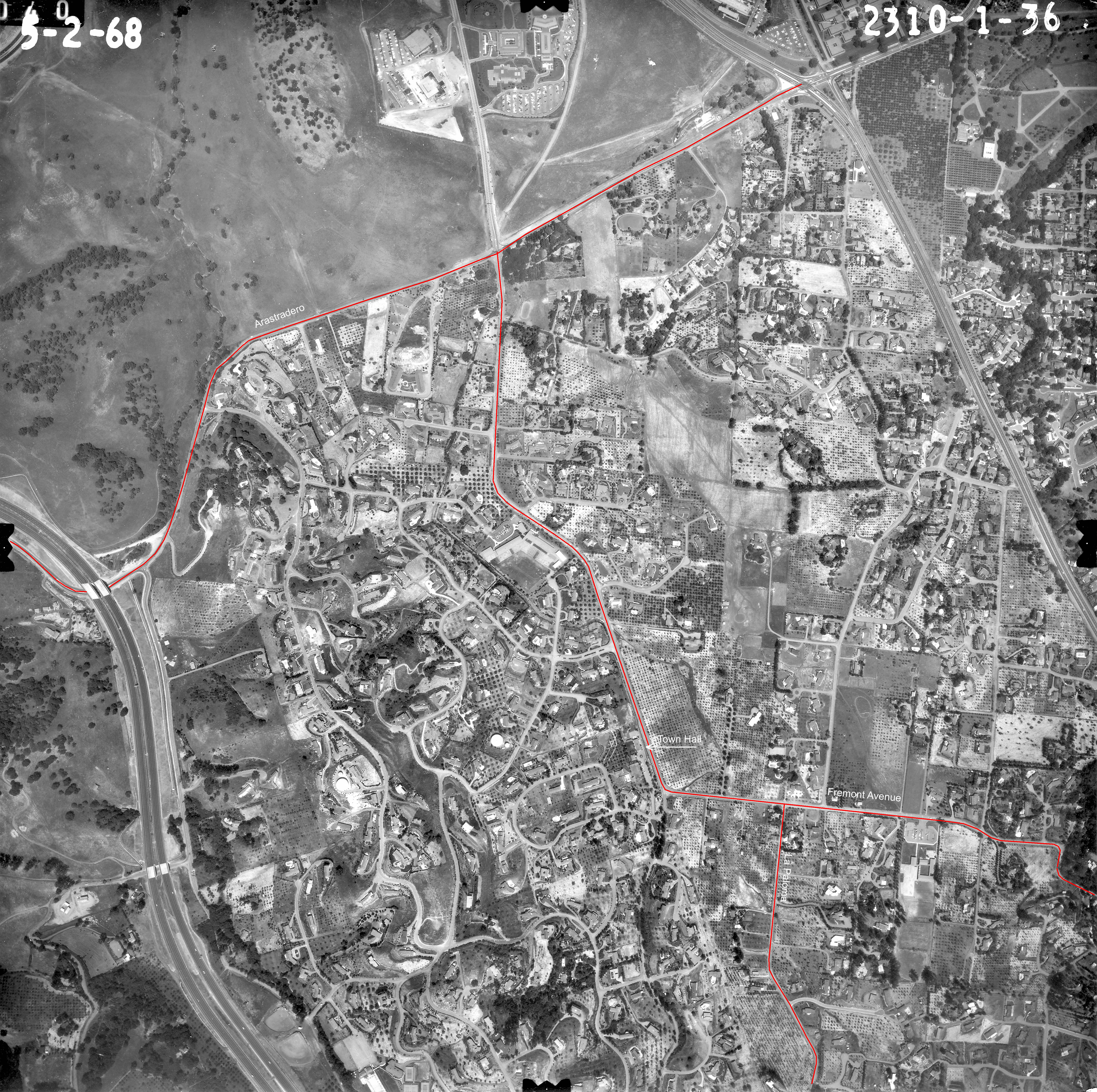
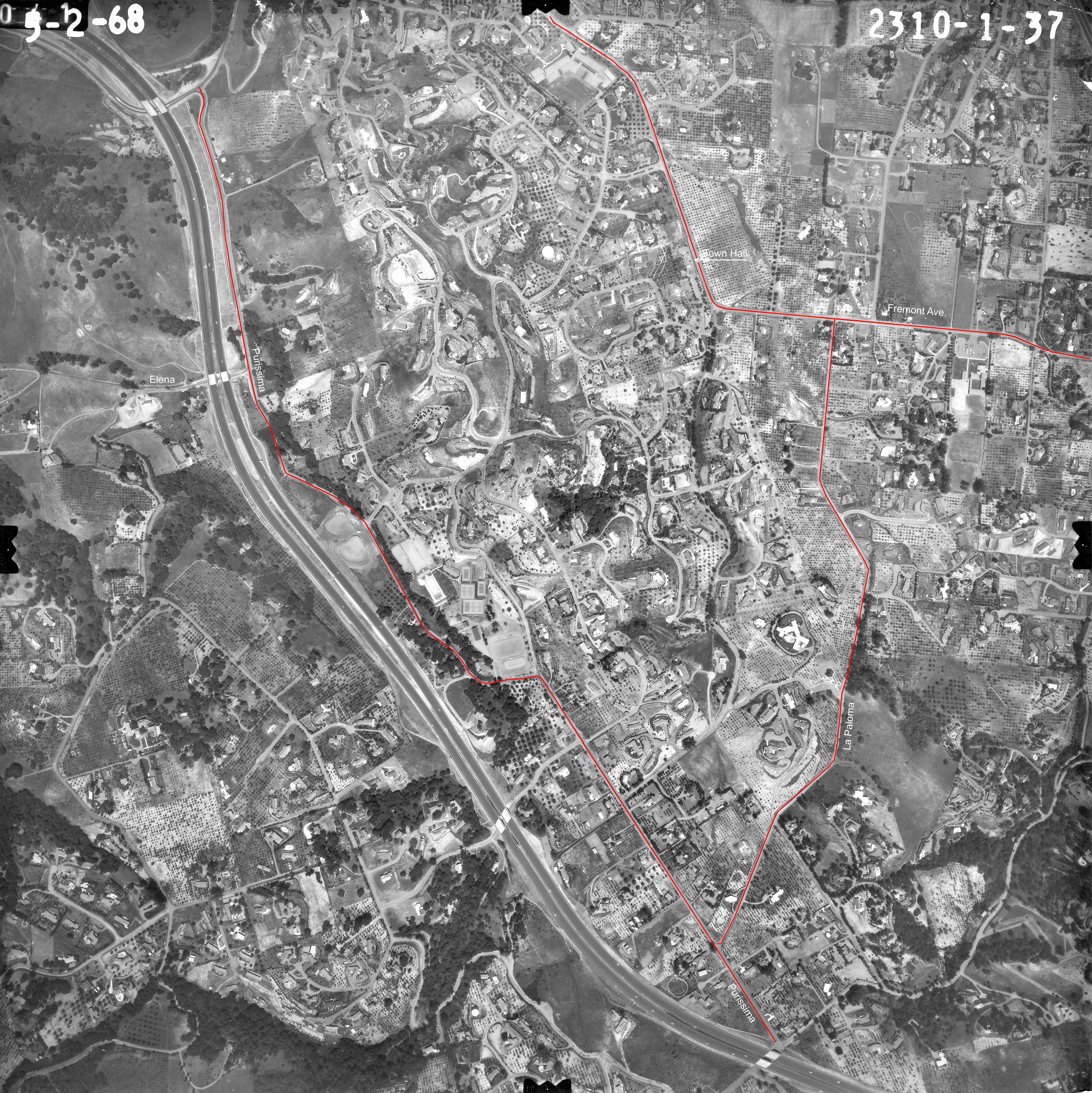
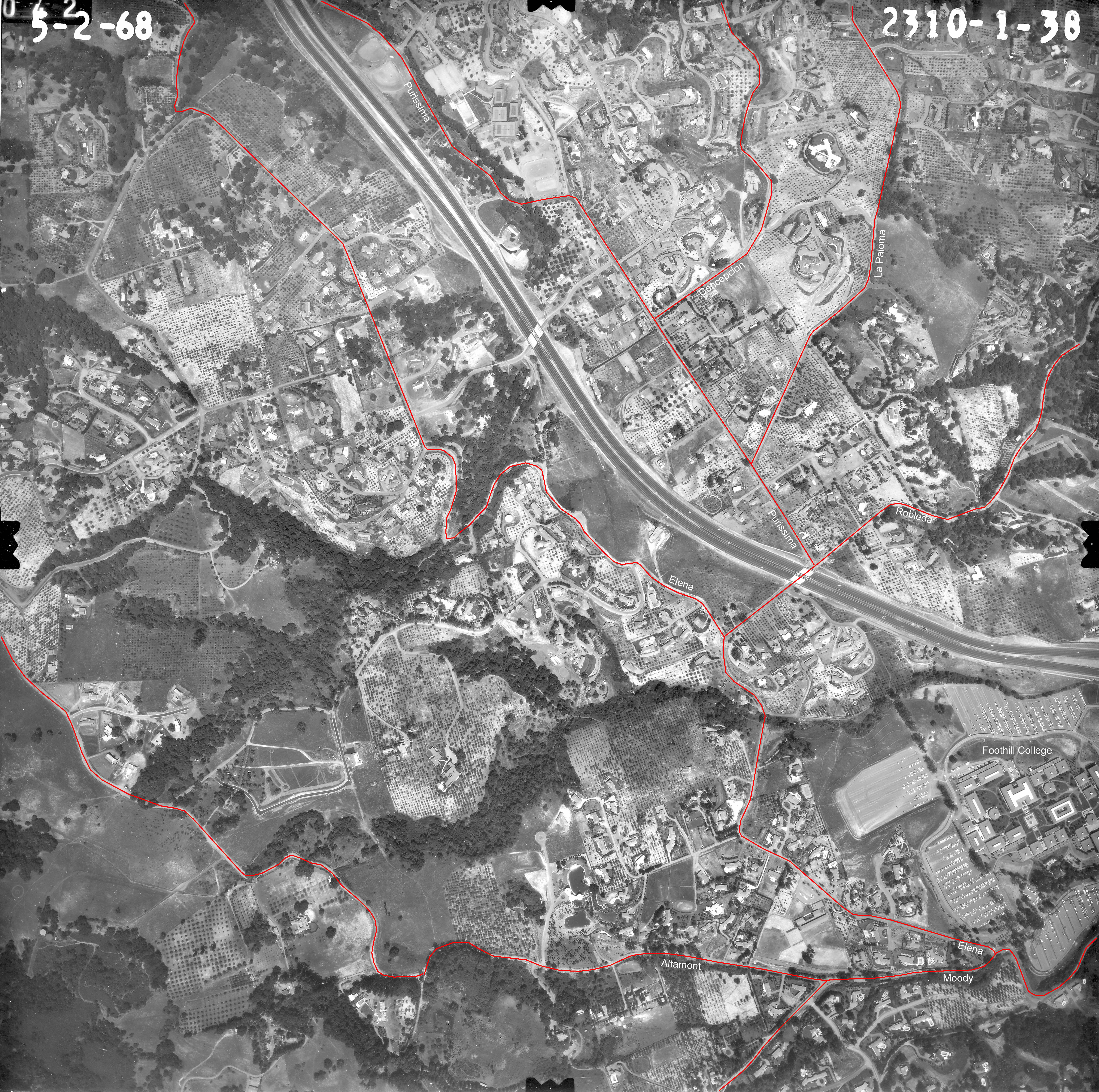
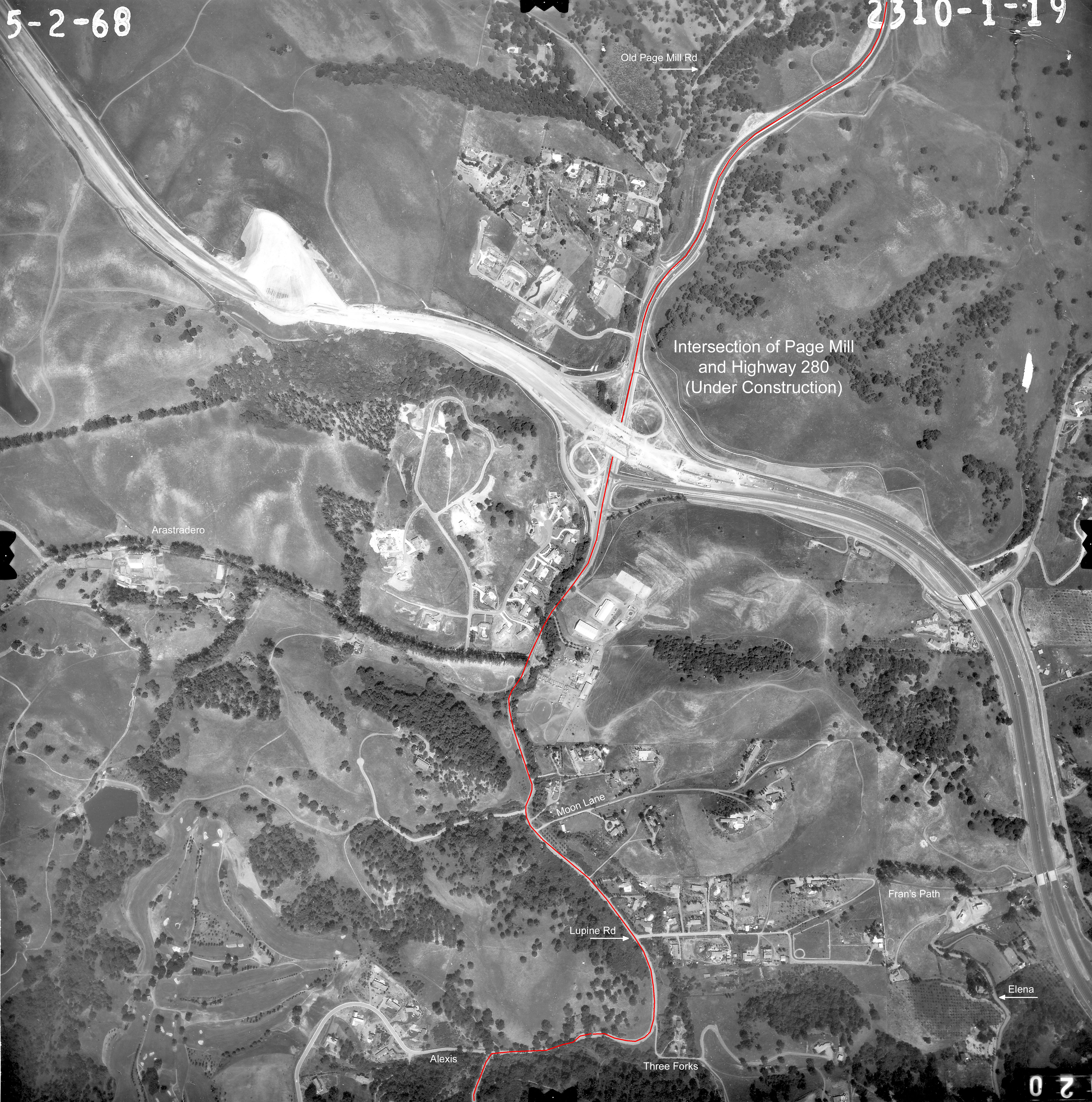
The web site for these images is https://mil.library.ucsb.edu/ap_indexes/FrameFinder
Clicking on this link will result in a screen showing a map that is covered in dots - this may take a few seconds depending on available bandwidth and the speed of your computer.
After the opening screen has come up, observe there is a small query box in the top-left corner of the screen.
Type the string "Los Altos Hills" (without the quote marks) into this box and execute the query - this will take you to a similar display, but this time the map will be of the local area.
Each dot on this map is identified with a certain "frame" taken on some "flight". If you click on a particular dot, a small window will appear next to where you clicked, and the contents
of the window will be one of two types:
- Either it will inform you about the Flight Id, Frame Number, and date of the image associated with that dot. and provide a clickable link to cause downloading of the .tif
file to your computer - if the actual file is available in the collection.
- Or it will inform you about the Flight Id, Frame Number, and date of the image associated with that dot, but the file is not yet available in digital format and needs to be scanned before it can be made available.
By clicking on the associated link, you can cause the image to be scanned and made available on payment of a relatively modest fee.
Before you are tempted - another word of caution. Looking for maps and examining them can be addictive, and cause you to spend many hours at the computer and get square eyes. You have been warned.
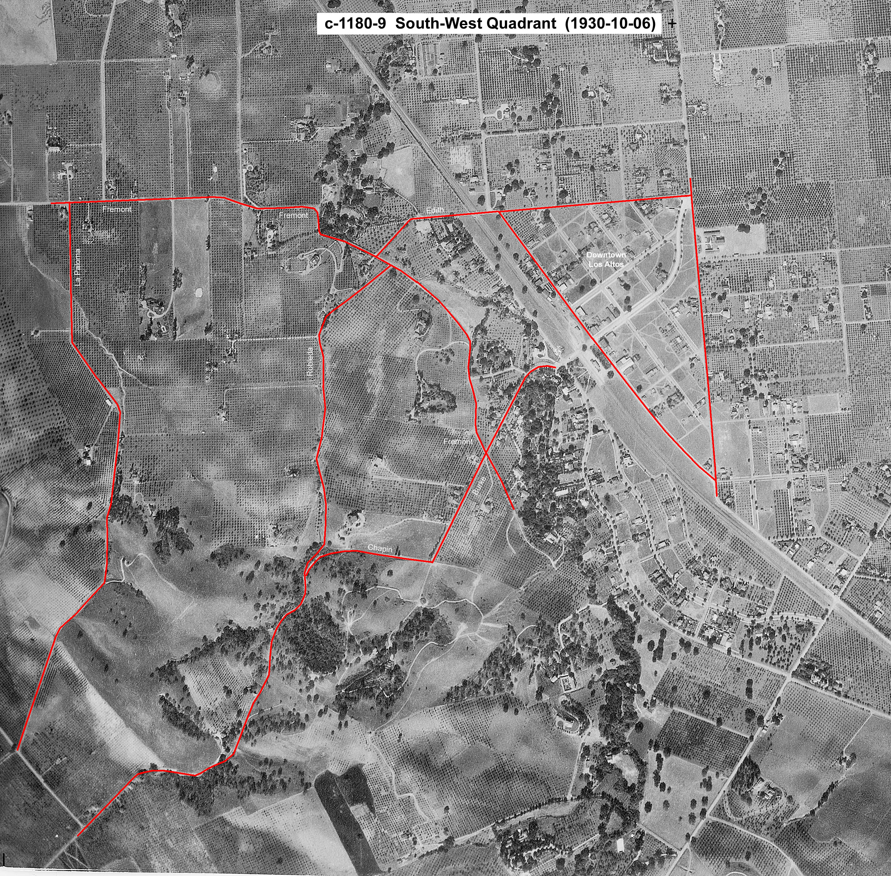
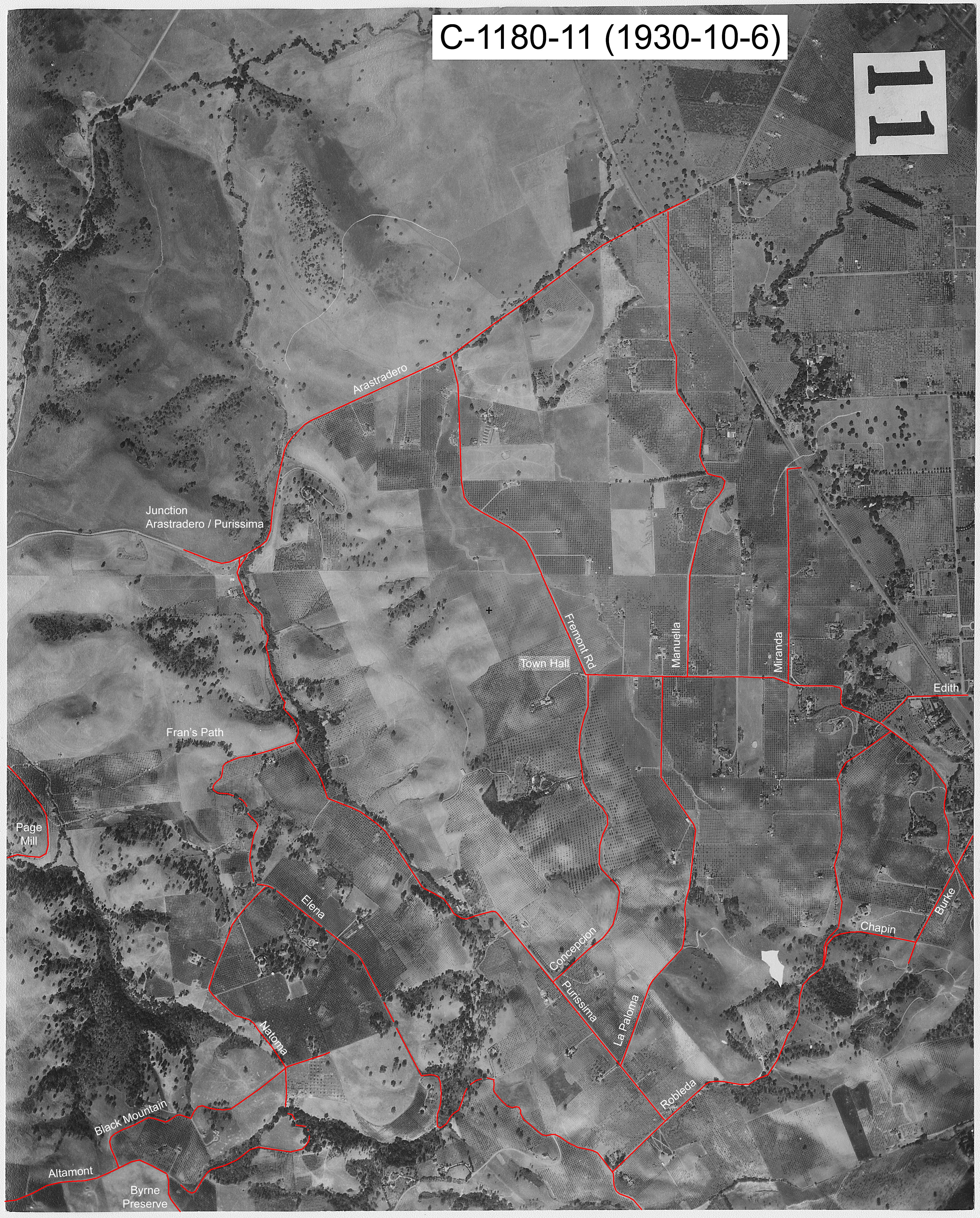
The mystery the two frames from the 1930 flight
The two frames we have been able to obtain from the flight on October 6th 1930 are quite extraordinary and most unusual. There has been much discussion and speculation in how come
those frames got to be created with such
high quality at that point in the history of aerial photography.
Aerial photography got its real start during the First World War, mainly through trial and error. No significant advances had been made by the end of that war, neither was there
much emphasis in improving the material or process until it became apparent that another conflict might be brewing. So in 1930 (when these two frames were captured), the
quality of aerial photography (resolution and clarity of detail) was still very much constrained by multiple physical limitations. These may be summarized as follows:
- The camera had to be mounted somewhere on the aircraft so it could point straight down. It could not be hand-held by a passenger because a passenger can only
see “down” at some angle less than vertical
-
Mounting the camera directly on the aircraft means that (no matter how much damping or shock-absorbing is built into the mount) the camera will be subject to some
degree of vibration and plain tossing around
caused both by the piston-engine nature of the motor driving the propeller, as well as “bumpiness” encountered by
large wings flying through the air at somewhere around 100 m.p.h.
-
This means that to get a sharp picture, the film must be exposed only for a very brief moment (i.e. a very fast shutter speed). 1/25th of a second is not going to hack it, nor even 1/50th of
a second. 1/125th of a second might just produce something useful. But more likely 1/500th will be required to get any kind of sharp picture, and 1/1000th of a second would be better.
-
This then means that the diameter of the lens must be very large (to gather enough light during this brief moment to expose the film sufficiently) which compromises the accuracy with which
the lens can be ground to provide a sharply focused image. As a general rule – the bigger the lens, then the greater the area of the lens that is outside the central “sweet spot”
at the center of the lens which contributes the sharpest focus.
-
This also means that the film emulsion (the chemical layer in the film that records the amount of light received on any spot) must be very sensitive - or “fast” as
it is referred to by photographers.
-
This in turn means both that (a) the film will be very “contrasty” – meaning it will tend more towards just showing extremes of black and white rather than the intervening
shades of grey, and (b) the film will provide a very “grainy” image which compromises the resolution and level of detail that it can record.
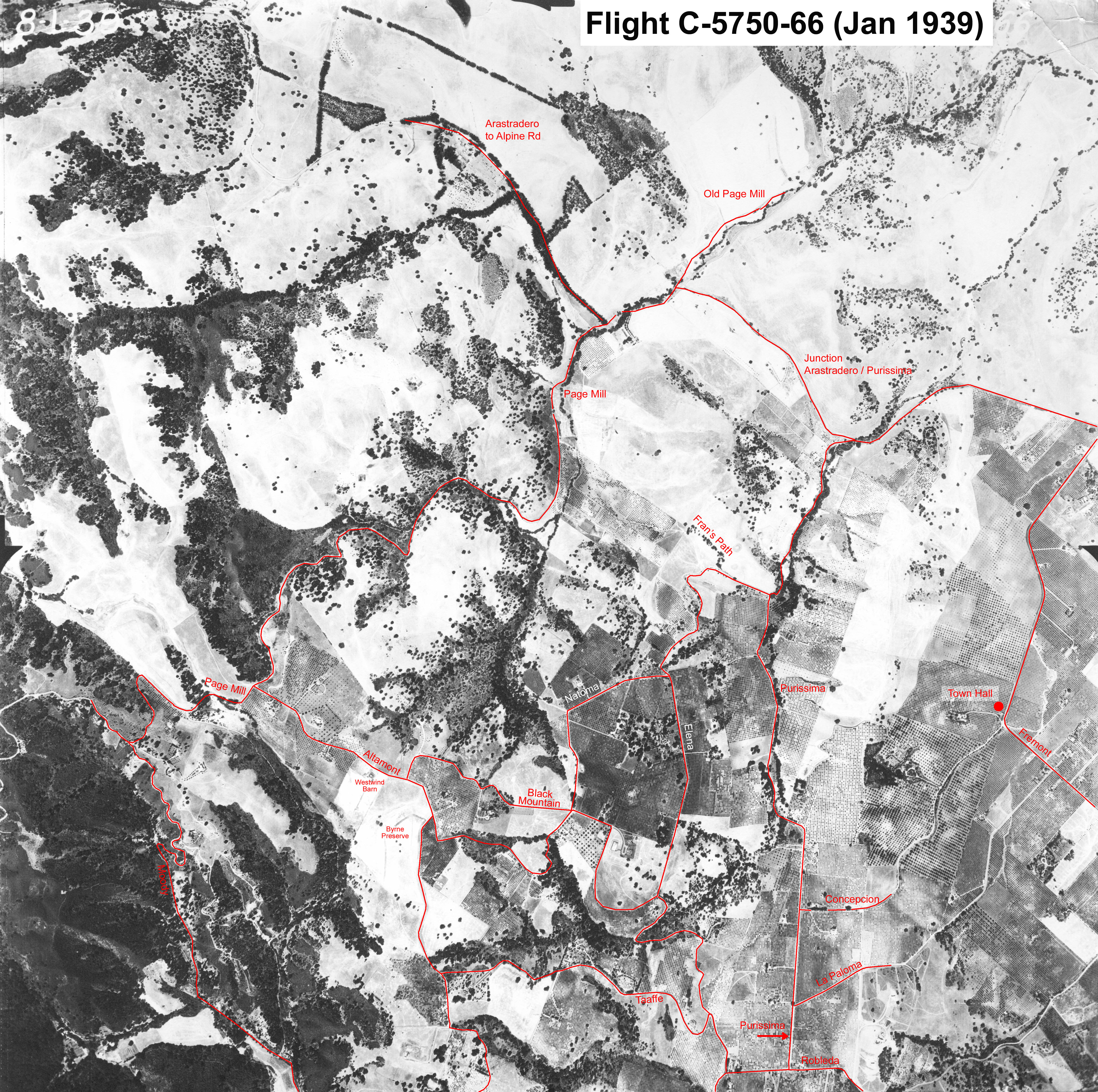
All this boils down to the fact that an image captured in 1930 should have no better technical quality (resolution, sharpness, contrast) than one captured in 1939 – on the eve of an impending war when research and development
in this area was starting to pay dividends.
If you compare the quality of the images in the two frames we have from 1930 with the single frame we have from 1939, then it becomes apparent that the earlier ones are very unusual
and very special. But we have not been able to find any further background about this “flight” – who made it and using what equipment.
In terms of the historical context,, we know that the
Stearman biplane (aka the PT17) was the platform of choice for aerial photography in this era, because of its superior (lack of) vibration characteristics. But this aircraft only became
available in 1934.
As far as film is concerned, the American company ANSCO (which produced the bulk of the specialised film used in aerial photography at that time) merged with the German company Agfa in 1928 to pool
their research and came under the control of the German chemical conglomerate IG Farben. The American side of this operation was taken over by the American Government at the outbreak of war in 1941.
Bottom line... is there perhaps interesting story lurking here somewhere as to how these superior images were obtained in 1930 - who knew what and when - about the required technology.
Scholars, historians, and amateur hobbyists have discussed and postulated various scenarios about how this could have happened. Such high-quality aerial photos have been found that
were made on different
occasions and dating back even earlier... How is that possible?
We can't be sure of course, but there is a potential answer which is not only possible - but probable..
Mystery solved? Spoiler Alert!
To see the answer, select all the text (by clicking/dragging your mouse) from this point <here>
Probably the pictures were taken from a balloon (Blimp) instead of an aircraft
to this point <here>
| 